Welcome to Warp4
This is the geospatial software you have been looking for
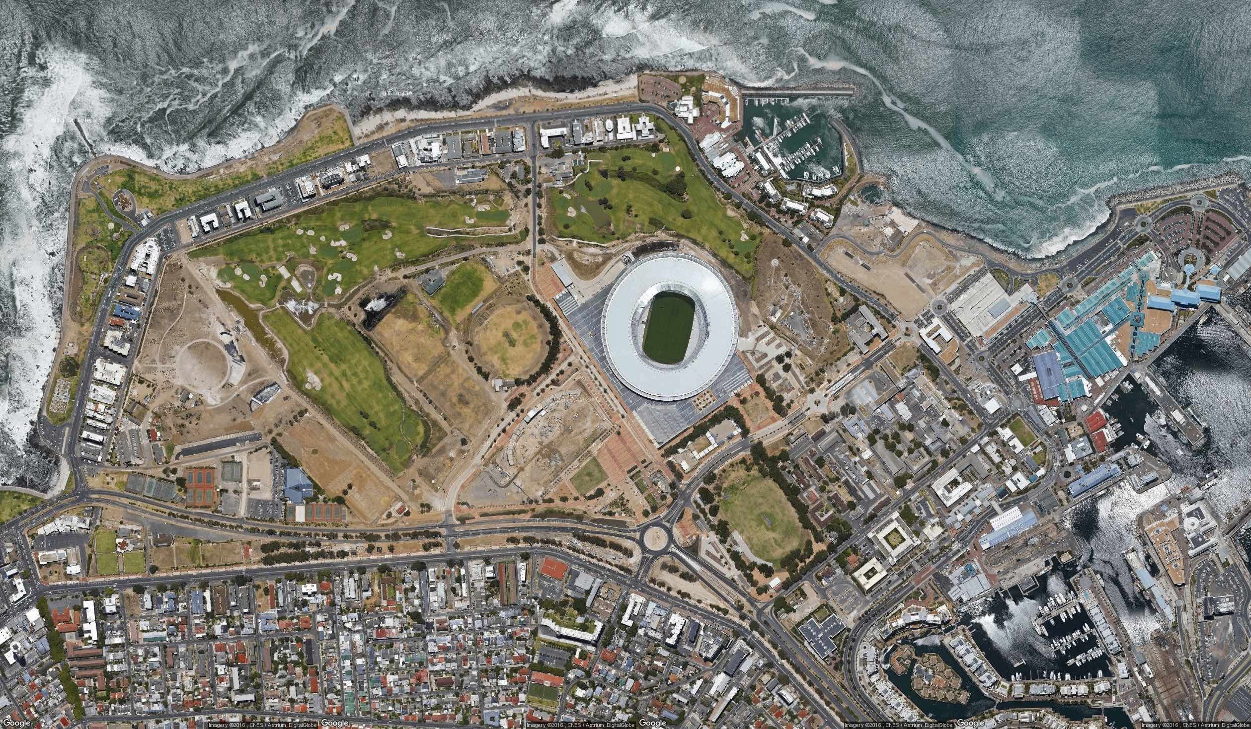
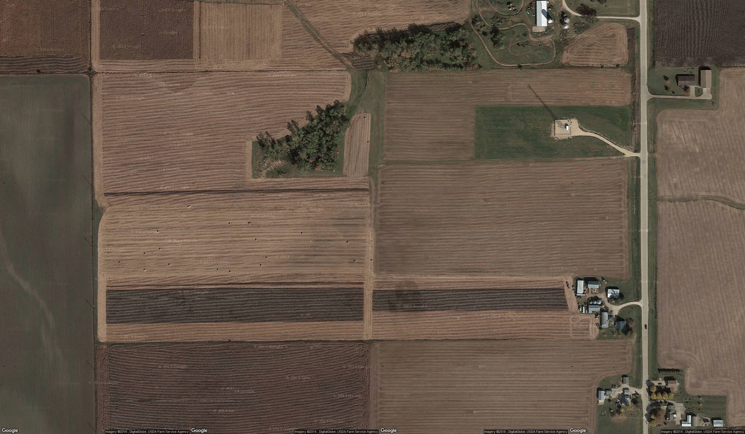
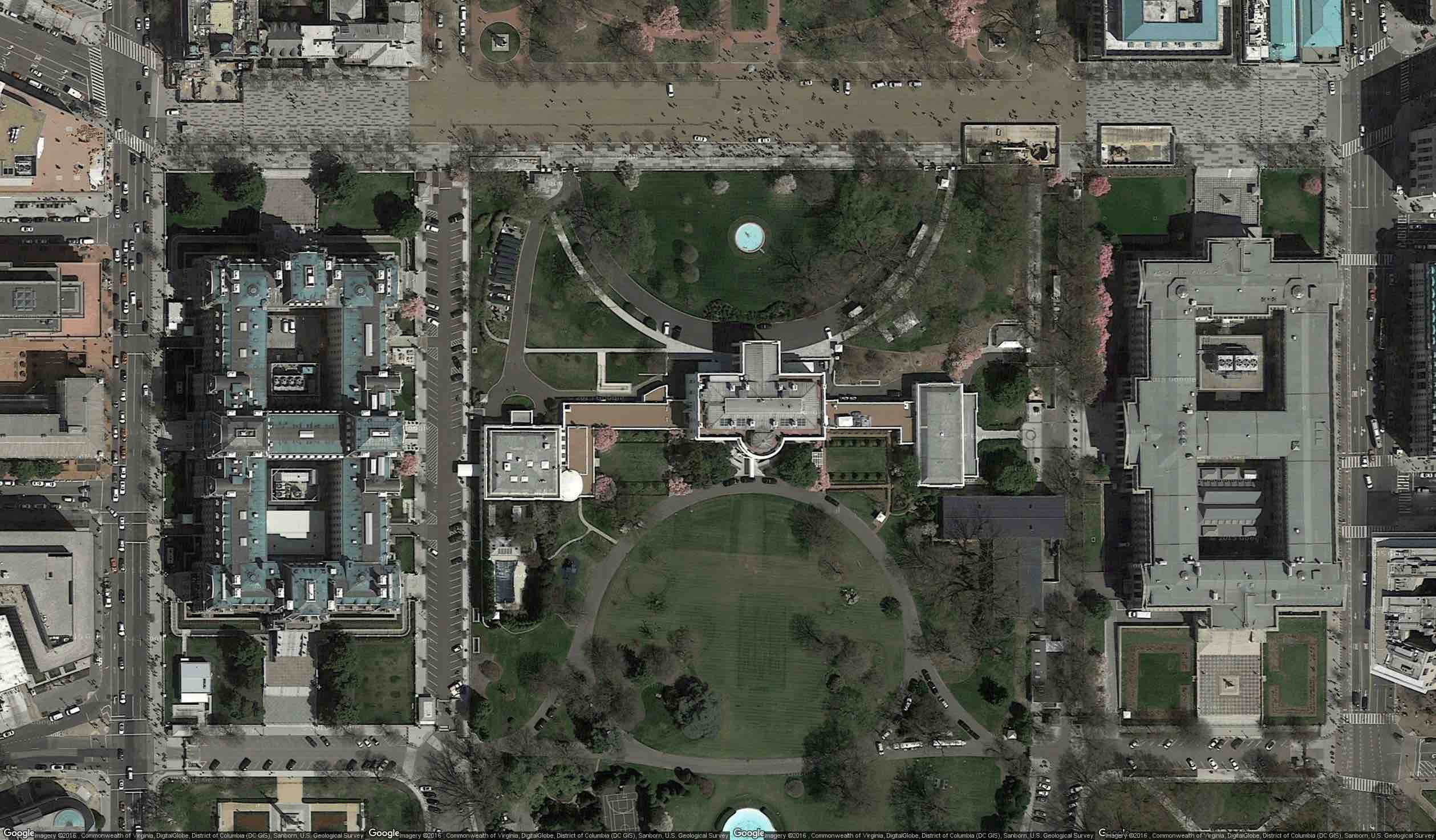
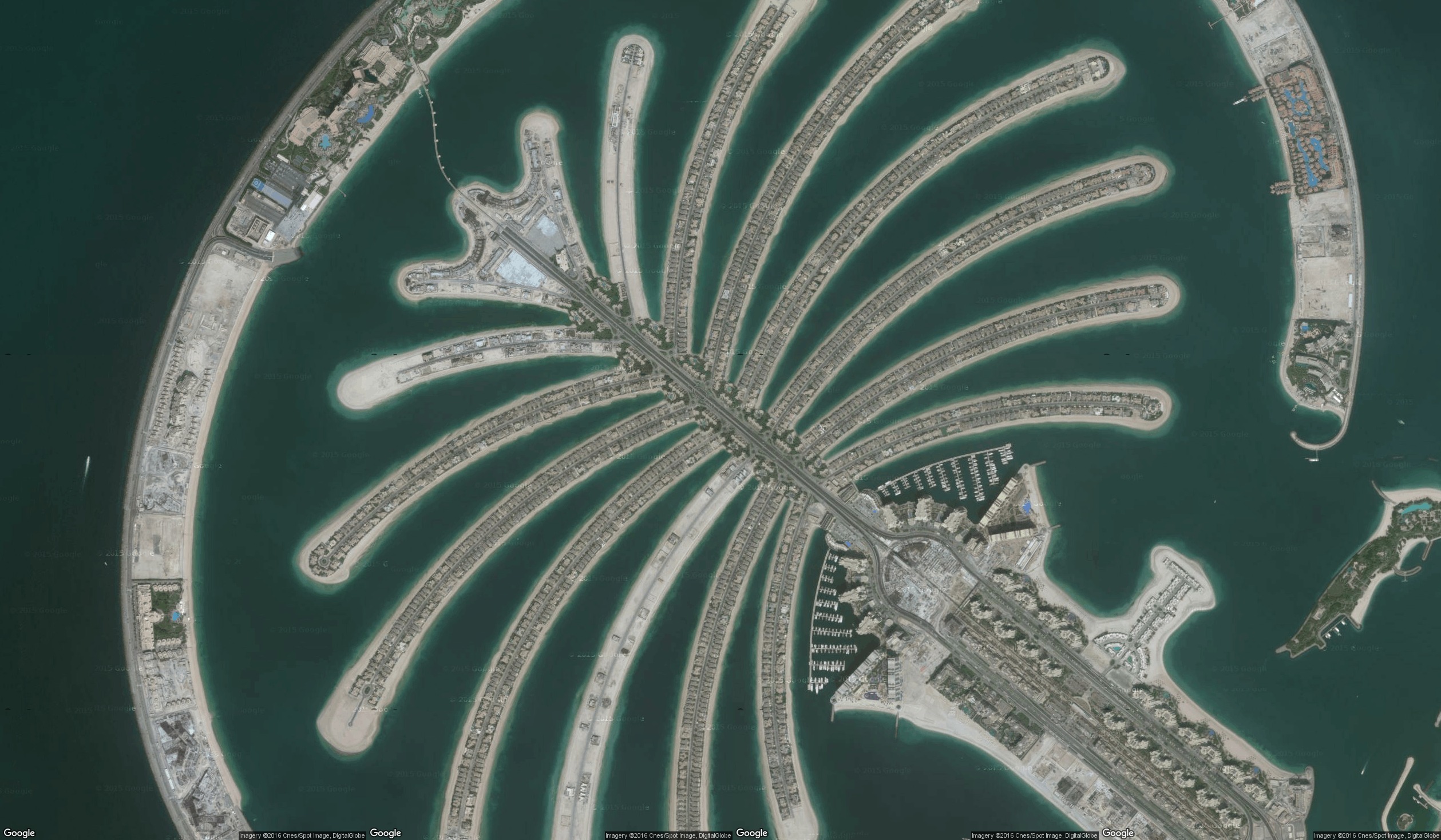
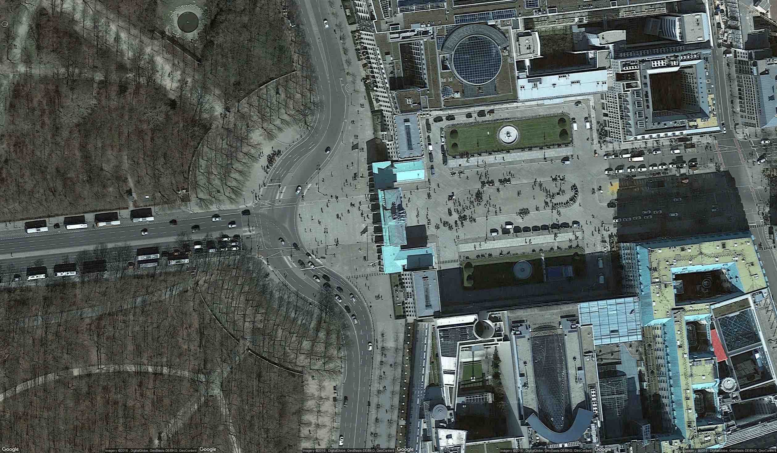
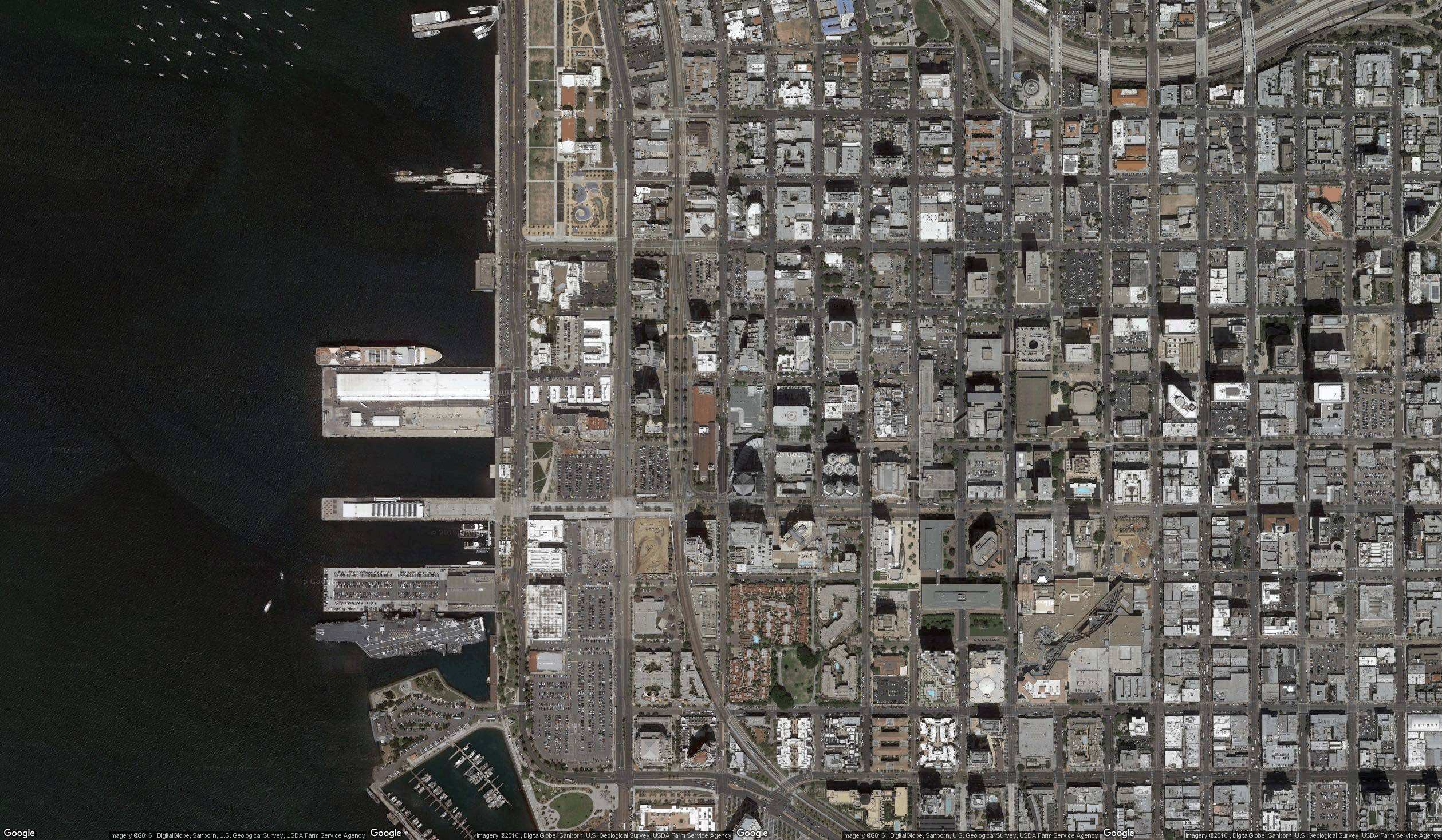
Image2Earth
Quickly and easily select and save georectified satellite imagery for use in your GIS or CAD systems.
You can view Image2Earth data in:
- ArcMap
- AutoCAD
- QGIS
- Global Mapper
- Microsoft Office Products
- Use in web sites
- And many more!
Download these examples (All imagery is projected using Web Mercator):
Pricing
Simple Pricing (coming soon)

1 Month
3 Months
12 Months
About Us

We are a group of engineers based out of Colorado Springs, Colorado, who love to write software that makes peoples jobs easier.